|
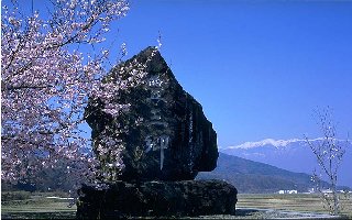
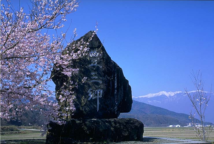
- Ina Basin also called Ina Valley is a valley of Tenryu River sandwiched between Kiso Mountains and Ina Mountains. Formed by terraces, flooding plans and alluvial cones, it is 60km long and 4 to 10km wide. Once, the sericulture, silk manufacture and textile industry had been prosperous. More recently, the apple culture and precision industry have developed there.
- Kiso Mountains, also called Central Alps is a middle aged steep mountain chain, composed of granite, stretched across 20km in east-west and 80km in south-north direction, and located between Kiso valley and Ina basin in the south of Nagano prefecture. The mountains are covered of primeval forests and abundant in Alpine flowers. The highest peak is Mt. Koma with 2956m high and a ropeway goes up to just beneath it.
- Haiku Poet, Inoue Segetsu was born at the town of Nagaoka, in Nigata prefecture. After having given up his homeland, from Anse Era to Meiji he was living only with Haiku by travelling around Ina Komagane region: he has left behind him more than 2000 Haiku poems. Mastering both Japanese and Chinese cultures, he was an exceptionally skilled calligrapher and has left behind him many excellent calligraphies. He died in the 17 year of Meiji Era at the town of Ina, Misuzu Otakubu.
- On the road from Takato to Komagane, with Central Alps as a background, cherry blossoms and fresh green enjoy us. Along Mibu River, the rural landscape continues, and the row of cherry trees with a view on Central Alps attracts especially our attention.
|
 Japanese display
 French display

