|
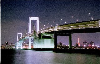
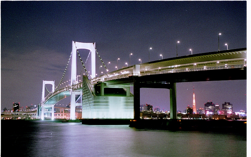
- Rainbow Bridge, of which construction began in the 62th year of Showa Era and ended in 5th year of Hese Era, is a suspended bridge, crossing Tokyo Harbor. Its total length is 918m and the distance between the two main towers is 570m. The bridge has 2 stages: the upper stage is used for an express way while the lower one is for an ordinary road and sidewalks as well as an unmanned seaside express train, called Yurikamome (sea gull).
- In the 33the year of Showa Era, as a general radio wave tower, Tokyo Tower of 333m high has born. Until then, each station of the metropolitan area had broadcasted separately television waves from its own tower. So, Tokyo Tower appeared as a mean to broadcast all of them from an unique locality.
- Tokyo Bay is an inlet located in the south of Kanto Area. Placed between Boso Peninsula in the east and Miura Peninsula in the west, it communicates in the south with Pacific Ocean via Uraga Channel. Spanning 30km from east to west and 80km from south to north, its depth is generally less than 30m in the north and increases gradually toward the south. It faces Tokyo, the capital, and Kehin Industry Area is in the west.
- Tokyo Harbor, spanning from the mouth of Sumida River to Tama River, has opened in 1941. Recently, it has considerably developed because of a land reclamation, and owns Takeshiba, Ariake, Shibaura, Harumi, Oi etc. as main piers. A regular line to Izu and Ogasawara islands departs from Takeshiba Pier. Moreover, ferry services to Hokaido, Kyushyu and Shikoku exist from Ariake Pier.
|
 Japanese display
 French display

