|
- Projecting into the south from Honshu island, Wakayama prefecture has an oceanic climate under the influence of Kuroshio current. His old name was Kinokuni (country of trees) because a heavy rain lets grow luxuriant plants. Moreover, because of a rias type coast, it owns many good harbors and, consequently, an active fishery.
- Shirahama Spa had been called 'Hot spring of Muro' in Asuka-Nara period and developing as a hot spring town along Kumano road. It received even regular visits of each Emperor from afar because of its fame. After the opening of West Kisei line railroad, it has become suddenly a big spa town of south Ki region.
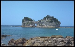
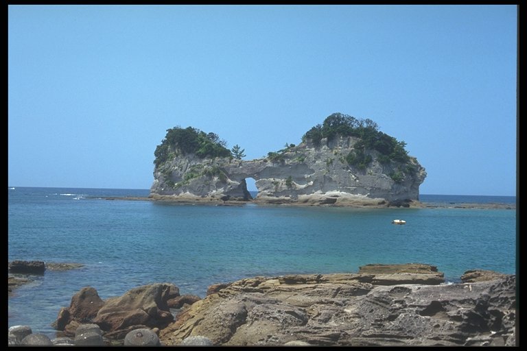
- Small island located in the south of Rinkai bay, with the dimension of 130m in north-south direction, 35m in east-west and 25m high, its official name is Takashima. However because of a hole excavated by a sea erosion, people frequently call it Engetsu-to (Circular moon island) and it is well known as a symbol of Shirahama.
- The erosion over the coast and shallow sea bed near by, provoked by sea movements like waves, tidal or ocean currents, is called "sea erosion". We can quote, as a main geologic formation of the above effects, sea cliff, sea plateau and sea cave.
|
 Japanese display
 French display

