|
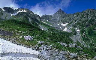
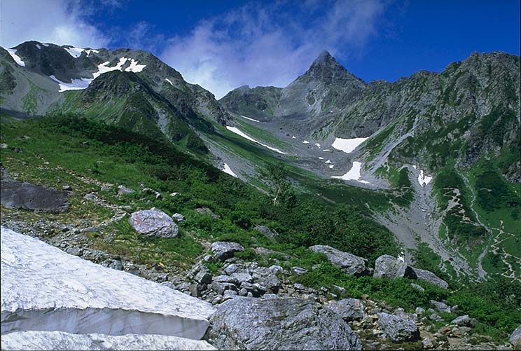
- Mt. Yari with 3180m high is located at the frontier between Gifu and Nagano prefectures, in a bit southern part of the center of Hida Mountains. Its peak's form like a spear has given this name. Belonging to Chubu Sangaku National Park, the most frequently used routes to climb there are from Yari Valley or Nishikama Edge.
- Saint Banryu, who opened the sanctuary of Mt. Yari and reestablished Mt. Kasa's, wrote the oldest book about mountain climbing in Japan, "Katagadake-saiko-ki". Kamitakara Village organizes, each year on May 11, Saint Banryu Festival in order to commemorate his exploit and to pray for the security of climbers.
- English priest and climber Weston has nicknamed Mt. Yari "Japanese Mattherhorn": the peak which appears pointed from every direction is formed of hard andesite and is the remainder of what the glacier scraped. Qualified as the chief of Japanese Alps, its aspect which dominates others has a real weight.
- The hemispheric depressed land formed by a hoofed glacier just blow a peak of mountain edge is called "spheric valley". It has a half circular steep wall at the back and a gentle sloped basin at the bottom. Sometimes, the deep depressed land left behind by a glacier is filled up with a lake.
|
 Japanese display
 French display

