|
- Spanning over Fukushima, Gunma and Nigata prefectures, the region which includes plain of Oze, Oze pond and its environs like Mt. Shibutsu and Mt. Hiuchi is called Oze. Because of a variety of topographies and rare plants and animals, all the region is declared as a special natural monument.
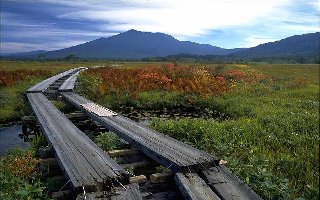
- The largest high-stratified swampy plain in Japan, Ozegahara is located at a basin near the fountainhead of Tadami River. It originated from a dam lake created by an explosion of Mt. Hiuchi which would be filled up later and you can count now more than 400 ponds of various sizes. Being rich in plants and animals, proper to that region, or living there as their southern limit, it forms a part of Nikko National Park.
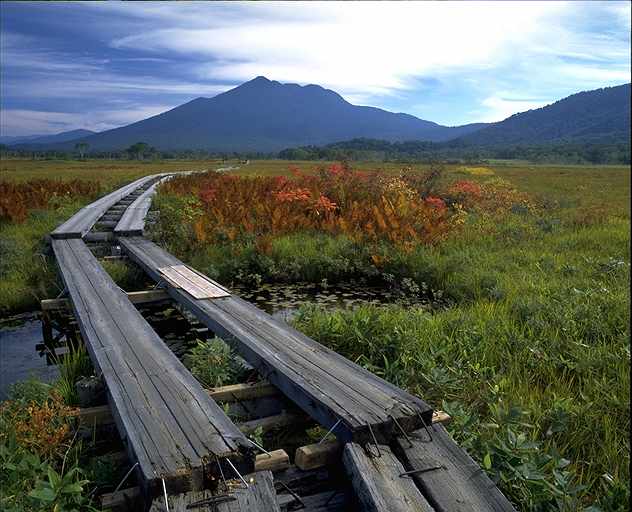
- Mt. Hiuchi is a volcano located in the southwest of Fukushima prefecture and is the highest peak (2346m) of Tohoku region. It is formed by an old stratovolcano in the north and a fresh lava dome in the south. It corresponds to the fountainhead of Tadami river and in the southeast there is a dam lake, Oze pond, created by its explosion.
- Wooden roads which continue to everywhere is in order that the tourists should avoid trampling rare alpine plants.
|
 Japanese display
 French display

